This event has ended
Webinar
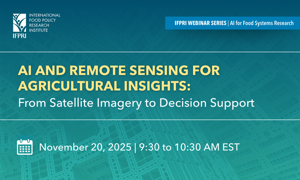
AI and Remote Sensing for Agricultural Insights: From Satellite Imagery to Decision Support
Nov 20 - 20, 2025
Online
Timely and accurate agricultural data remains difficult to obtain in many regions. This webinar explores how AI and remote sensing can improve agricultural decision-making through machine learning and satellite imagery.
The session focuses on innovations that enhance monitoring, planning, and climate resilience in food systems.
What the Webinar Covers
The speakers will examine practical opportunities for deploying AI in remote sensing for agriculture. They'll discuss design challenges that emerge in real-world agricultural systems.
The session highlights technical breakthroughs alongside implementation hurdles. You'll learn about both the potential and the practical constraints of these technologies.
Key Topics
Land use classification using AI
Agricultural monitoring through satellite imagery
Crop yield estimation in dryland systems
Invasive species mapping for rangeland management
Integration of remote sensing data with machine learning
Closing data gaps in resource-limited settings
Who Should Attend
Agricultural researchers and data scientists
Remote sensing specialists
Agricultural extension officers and advisors
Climate adaptation practitioners
Development professionals working in food systems
Policymakers focused on agricultural planning
Technology providers developing agricultural tools
View Event Site
Opens ifpri.zoom.us in a new tab